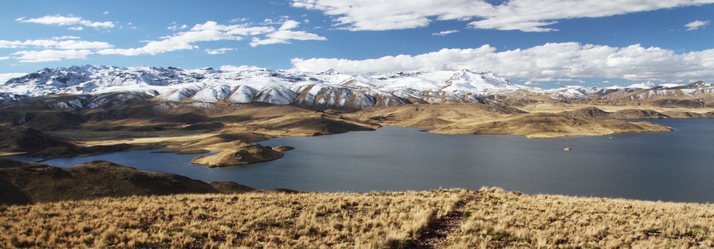

On its way from Arequipa to Juliaca, Highway 34A enters the Altiplano and thereby climbs up above 4000 m asl. The scenery seen during the long drive becomes monotonous at times, but after having crossed a mountain pass of approx. 4500 m, the view suddenly opens up to Laguna Lagunillas, a 65 km² large lake emedded in the rolling hills of the Altiplano at an elevation of 4174 m asl. Laguna Lagunillas, which drains to Lago Titicaca, is used for fishing, but most importantly it represents a source of freshwater for the region around Puno and Juliaca. Also the fine viewpoint on the lake along the highway has some economic importance.

Making business out of the view
Numerous business people in Peru place their small shops at popular viewing spots, such as on the highway where it passes Laguna Lagunillas. Even though these places are cold and remote and life is hard there, selling souvenirs to visitors here instead of in the larger towns has some major advantages for the vendors.
Let this street vendor talk about his business and about the people visiting the viewing spot on Laguna Lagunillas.
Camera and interview: Peter Mathis

Wikipedia article on Laguna Lagunillas in German language [Access source]


