anden.at
Discover the Andes


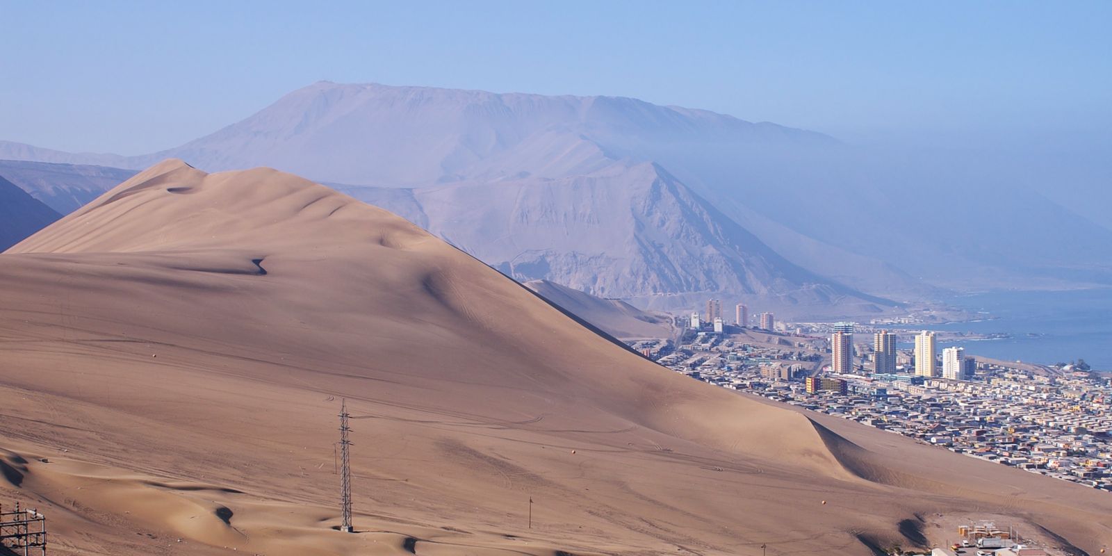
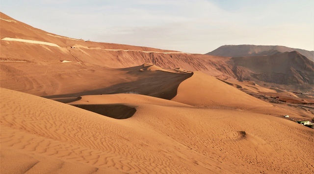
Cerro El Dragón
by Claudia Blauensteiner


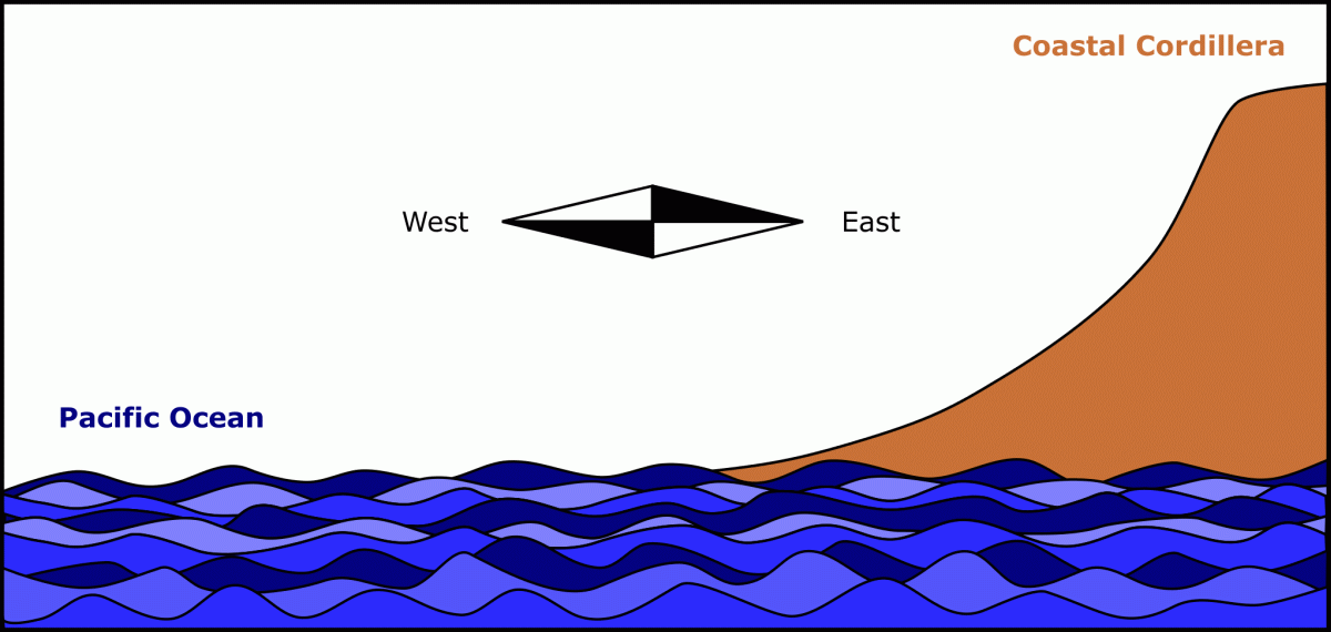
In the Atacama coastal desert in Northern Chile, close to the city of Iquique, there is a unique dune, locally known as Cerro El Dragón - dragon hill in English. It is located at the western side of the Andes, between the Pacific Ocean and the coast range. This impressive accumulation of sand rises up to 230 m above sea level, is four kilometres long and one kilometre wide in average. It is easy to climb Cerro Dragón starting from Iquique, whereas the best overviews can be obtained from the highway leading up to Alto Hospicio, and particularly from the Mirador Alto Hospicio.

Evolution and dynamics of the Cerro El Dragón
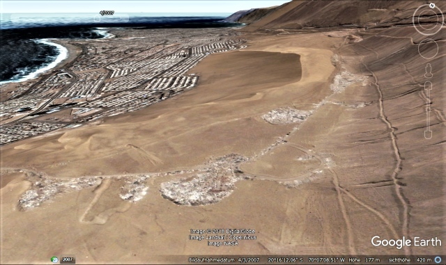
The photo comparison indicates that the Cerro El Dragón has hardly changed during a period of more than 11 years. Indeed, the dune does currently not receive sand supply and remains relatively stable in its position and shape also on the long term. However, this was not always the case.
Try to find one or more explanations for its evolution by exploring the following questions:
- Where did the sand deposited in the dune come from?
- Which role does the surrounding topography play for the location of the dune? Check the photos to find a special feature in the surrounding landscape!
- Which kinds of winds do appear in coastal regions and how do they contribute to the formation of the dune?


Click on the arrows or in the photo in order to compare the position and shape of the dune between the years 2006 and 2018.