anden.at

Discover the Andes

Excursion guide Movies Photos Presentations

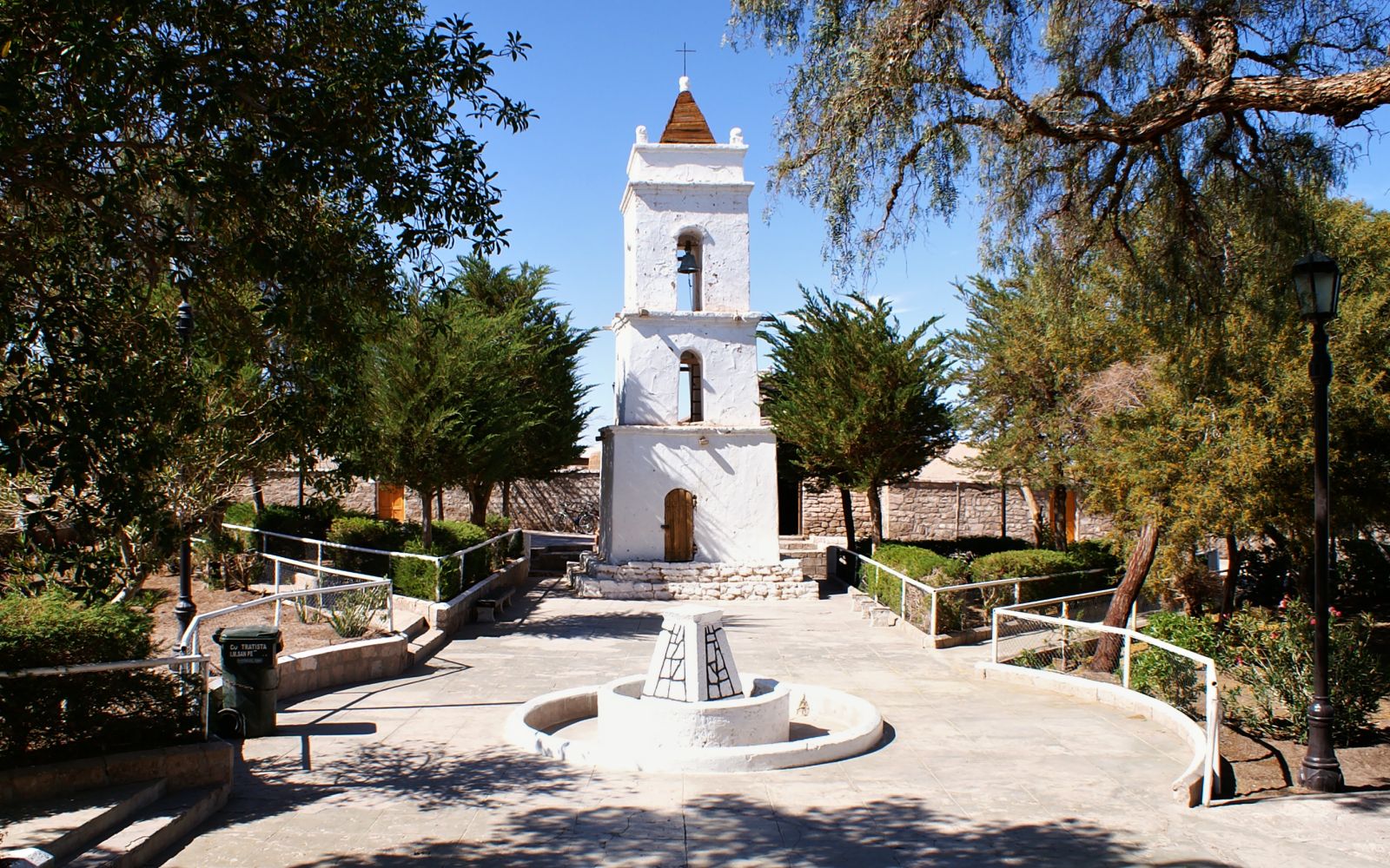
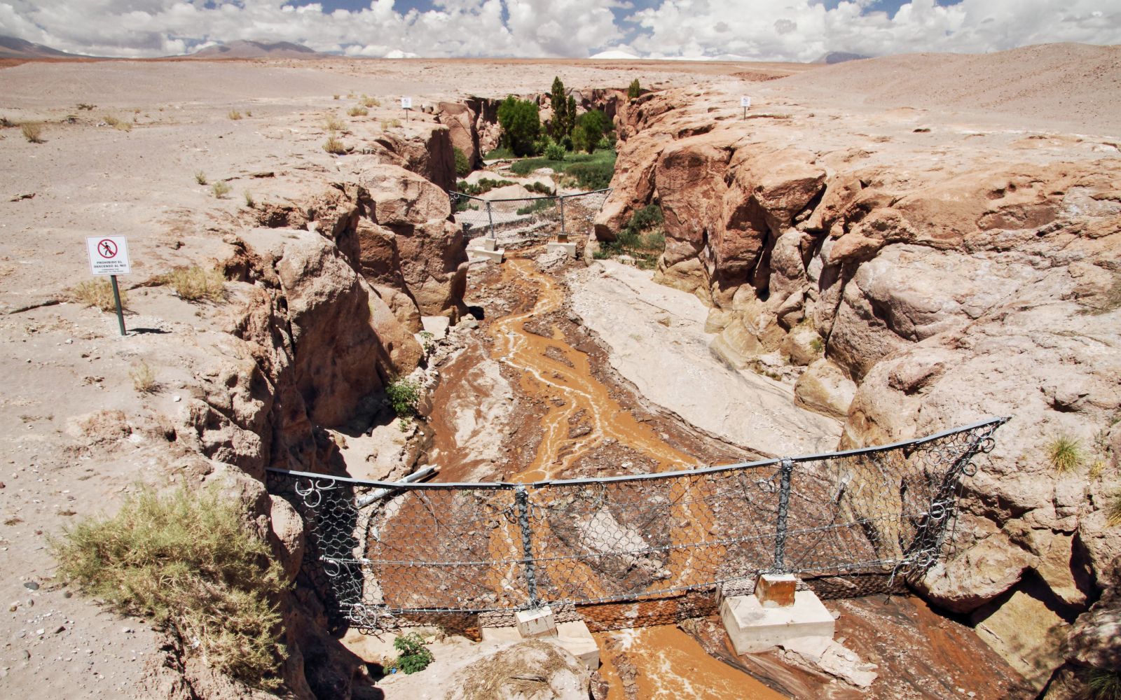
Toconao and Quebrada de Jere

by Martin Mergili

Map
General information

Toconao is a small village east of the Salar de Atacama, which has yet been spared from mass tourism. Topographically, it is located in the area where the canyons of the main range of the Andes give way to the extended alluvial fans leading down to the salt flat. One of these canyons is the remarkable Quebrada de Jere. The landscape at the bottom of this valley stands in sharp contrast to the surrounding desert.

Click on the photo to switch between views of the central square of Toconao in 2006 and 2016. Why, do you think, is the face of the clock tower damaged in the 2016 image?

Show solution

The northern part of Chile was affected by several strong earthquakes in the period between 2006 and 2016. The epicentres were mostly located near or even off the Pacific coast, and no severe damages were recorded in Toconao. However, the front of the clock tower suffered some damage.

The Quebrada de Jere

1 of 3

Click on the arrows or into the image to follow the Quebrada de Jere upstream. Start directly on the outskirts of Toconao.

Upslope from Toconao, the winding Quebrada de Jere is cut into the volcanic layers of the western slopes of the main range of the Andes. Irrigated agriculture is possible at the base of the canyon, so that the landscape is much greener there than in the surroundings.

But what might be the purpose of the meshes built across the channel?

Show solution
References and links

Spanish-language Wikipedia article on the Quebrada de Jere [Access source]

Spanish-language Wikipedia article on Toconao [Access source]